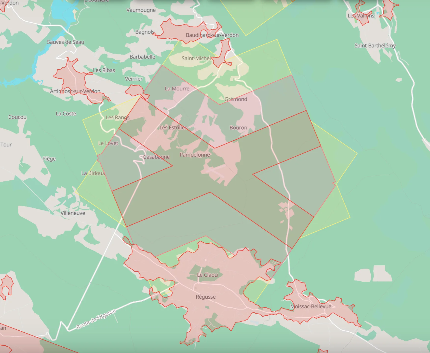
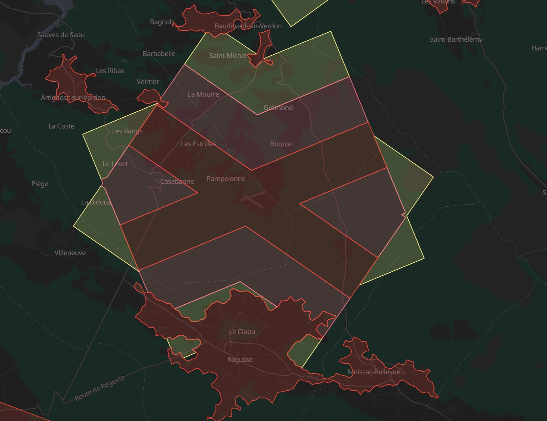
A flying instrument, not a map of static pins.
Regulations, cross-checked
Every spot cross-checks the official regulations with what pilots have experienced. The zone status is always visible.
No known restriction · Restricted · Permit requiredCommunity experience
“I was there”, wind conditions, VTX frequencies, re-confirmations: the data comes from pilots, in the field.
Field reports, pilot to pilotLive freshness
An indicator shows how recent each piece of information is. Freshness is never faked: what is old looks old.
Real timeBuilt for FPV, open to all
Freestyle, cinematic, long range, wing… The filters speak the pilots’ language, whatever the drone.
All drone typesYour spots, imported
Already keeping your list somewhere else? Import it instead of typing everything again: places arrive with their name, position and your notes.
Import from external listsOffline, in five languages
Spots you have viewed stay readable without a network, out in the field. The app speaks French, English, Spanish, German or Portuguese.
FR · EN · ES · DE · PTHonesty is the asset: nothing faked, nothing hidden.
Glydar shows public regulatory information and cross-checks it with the field. It never replaces an up-to-date check of the official maps and NOTAMs — and it says so.
Glydar installs like an app.
Once installed, the app opens full screen and keeps the spots you have already viewed readable offline. A native app is in the works.
The map grows with every flight shared.
Add a spot, confirm a zone, help the pilots who come after you.
Free and independent, thanks to pilots.
No ads, no data resale: the map stays free because pilots support it. If Glydar is useful to you, you can contribute — never an obligation.